 [Source: The Associated Press] -- The 3 million acres of federal land in the Arizona Strip have their remote geography to thank for preserving their spectacular red sandstone escarpments, slot canyons, rock art, and ruins of ancient pueblos. One of the last places in the lower 48 to be mapped, the Strip, in the northwestern corner of the state, is bypassed by major highways and mostly devoid of gas stations, hotels and other visitor services. As a result, more than 12,000 years of human history written on this rugged landscape have remained in place. That is about to change.
At the backdoor of the Grand Canyon, two national monuments, Grand Canyon-Parashant and Vermilion Cliffs, are poised to absorb the effects of the explosive growth from Las Vegas to the west and St. George, Utah, to the north, two of the fastest-growing areas in the nation. The Bureau of Land Management is preparing a long-range plan for the area that would allow uranium mining and oil and gas exploration across 96 percent of the lands outside the monuments. The plan would also permit livestock grazing in the monuments and open 3,000 miles of roads to motorized recreation. And although the area would be outside the monuments, some say the proposal wouldn't safeguard rare plants and animals, such as the desert tortoise and the 20 species of raptors, including a colony of reintroduced California condors at Vermilion Cliffs. "What you have in the Arizona Strip is a kind of sleepy place that has been highlighted with two monuments, but the BLM hasn't really risen to these different challenges," said Martha Hahn, a former BLM administrator with 21 years at the agency. Hahn now works with the conservation group Grand Canyon Trust.
But BLM officials say that the plan, which has taken four years and won't be finalized for months, is a commendable effort to reconcile the agency's tradition of multiple uses on public land with its newer mandate to conserve national monuments. "It's all about finding the right balance between protecting the resource and allowing the public to use the land for grazing and other activities," said Scott Florence, the BLM's district manager for the Arizona Strip. Up to now, the Arizona Strip has been administered under a 1992 management plan. Much of the land within the national monuments was intended to be set aside for scientific study, but BLM budgets often limit expensive scientific analysis. More than 97 percent of the land within the monuments has not been surveyed for archaeological or paleontological sites and, according to a scientific study last summer, 63 percent of the sites in Grand Canyon-Parashant are vulnerable to damage by off-road vehicles, as are nearly half the sites in Vermilion Cliffs monument.
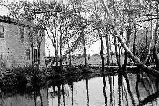
[Photo: Pipe Springs with historic Mormon building in background, c. 1934. Photo NAU.PH.95.48.851 by Barbara or Edwin McKee, courtesy of Cline Library Special Collections, Northern Arizona University.]